icona-ricerca_bg
icona-accedi-registrati_bg

Area riservata/Registrati

icona-lingua-ITA

It

Si informano i gentili utenti che, al momento, l’acquisto dei prodotti IGM è effettuabile esclusivamente tramite il sito ufficiale www.igmi.org
Il servizio di vendita diretta su questa piattaforma è in fase di implementazione e sarà reso disponibile prossimamente. Ci scusiamo per il temporaneo disagio.

The Library

The Library

History

The IGMI library was established when the Institute was transferred into its historic location in Florence, in 1865.
It is housed in the historic premises that once belonged to the Monastery of SS. Annunziata, including the monumental hall dating back to 1694, decorated with two frescoes depicting episodes occurred to the members of the Servite Order. The original collection of library and cartographic heritage was formed with works from the collections owned by the cartographic institutes and bodies of the pre-existing Italian states. Some of the most significant documents are works by famous geographers, such as Tommaso Borgonio – who worked during the 17th century in Piedmont, the the first geometric map of the Grand Duchy of Tuscany, drawn by Giovanni Inghirami and the first geodetic map of the Kingdom of the two Sicilies by Giovanni Antonio Rizzi-Zannoni, who who worked between the 18th and 19th centuries.
With the start of the Gran Carta d’Italia project, which was intended to provide the first comprehensive cartographic coverage of the entire national territory, this collection began to take on considerable historical and archival interest. By the end of the 1880s, the collection of documents had grown to such an extent that it required library-style organization.
In 1908, the inventory of all the material in the library’s possession was completed and the library began to function, but it was not until 1938 that it was finally opened for public consultation. In 1928, it also became the Military Library of Florence. From 1944 until the end of World War II, the Library, along with the Institute, were transferred to Dobbiaco – Toblach (Bolzano).
Since its establishment, the library’s collections have been enriched through acquisitions, donations, exchanges, and legacies (notably the Muller, Bianconi, Pasqui Cartoni, Tordi, and De Filippi cartographic collections).

In 2002, the Library was entitled to Attilio Mori (1865-1937), topographer at IGMI, Director of the Library and Professor Emeritus at the University of Florence.

Collections

In the Library are currently hosted:

  • about 120 000 books covering the geographic field and its relevant disciplines such as : Geography, Geodesy, Cartography, Topography, Astronomy, the History of Cartography, Explorations and Discoveries, Anthropology, Ethnography, City Planning, Regional Planning, Remote Sensing, Information Technology, GIS – Geographic Information System, etc… and publications of general interest and related to the military field (history, politics, economics, etc…);
  • a collection of nearly 700 geographic Atlas, the oldest dating back to 1570;
  • a map collection of ancient and modern maps, the majority of the latter have been acquired through exchanges with other Cartographic entities around the world;
  • a magazine section collecting 750 national and international magazines acquired by the Institute through an exchange partnership with other Institutes and organisations: “L’Universo” and the “Bollettino di geodesia e scienza affini”.
  • collections of photographs, the oldest one dating back to 1865.

Ancient works

The following ancient books can be found in the Library:

  • no. 2 Incunables
  • no. 22 books of the 16th century
  • no. 19 books of the 17th century
  • no. 128 books of the 18 th century

Some of the most valuable works collected in the Library:

  • the “Legenda Aurea” (the “Golden Legend”) by Jacopo da Varagine, published in 1478 by Johannes Zainer;
  • a Venetian edition of the “Rime e Trionfi” (Rime and Triumphs) by Petrarca, published in 1488;
  • two editions of the “Theatrum Orbis Terrarum” (the “Theatre of the World”) by Abraham Ortelius; the first one of 1570 and the fifth one of 1595;
  • The “Difesa et offesa delle piazze”, a handbook about fortifications and the art of war, by Pietro Paolo Floriani from Macerata, published in 1654;
  • the “Isolario” by Benedetto Bordone, an atlas displaying all the most famous islands of the world known in 1547;
  • the “Theatro delle città d’Italia” by Bertelli, printed in 1629;
  • the only sample of the “Carta d’Italia” by Giovanni Antonio Magini, engraved by Wright and published in 1608;
  • an autograph manuscript belonging to Giovanni Antonio Rizzi Zannoni, where he wrote his astronomy and trigonometric annotations during the realization of the map of the Kingdom of the two Sicilies.

The Atlases

There is a valuable collection of ancient and modern geographic atlases from all over the world. One of the most significant is the 1595 edition of the “Atlante geografico d’Italia” (“The Geographic Atlas of Italy”), by Magini, printed in Bologna in 1620.
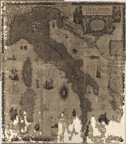
Dive into the works

COTE SEPTENTRIONALE D'AFRIQUE PARTIE COMPRISE ENTRE ZARZIS ET TRIPOL

ITALIA NUOVA BY GIO. ANTONIO MAGINI

16th-17th centuries

DUCHY OF FERRARA

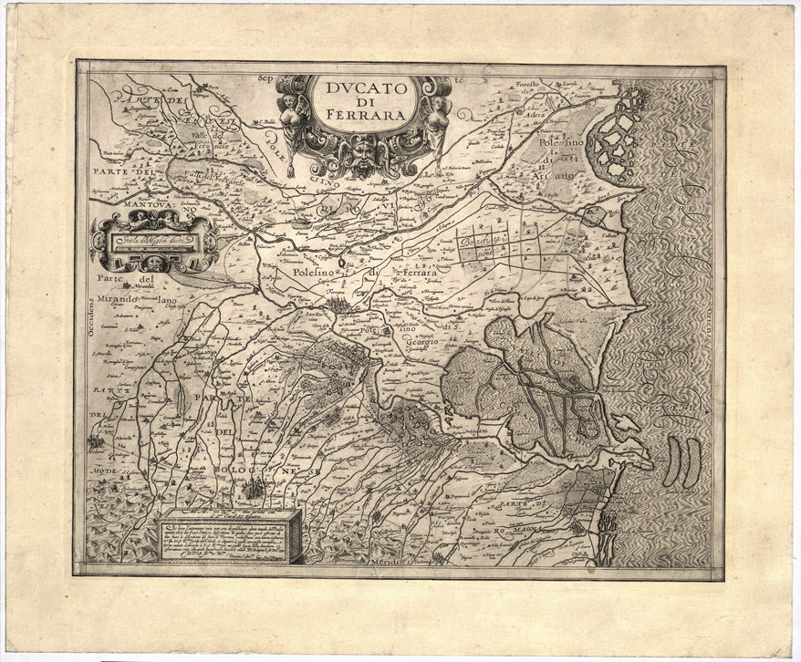
16th and 17th centuries
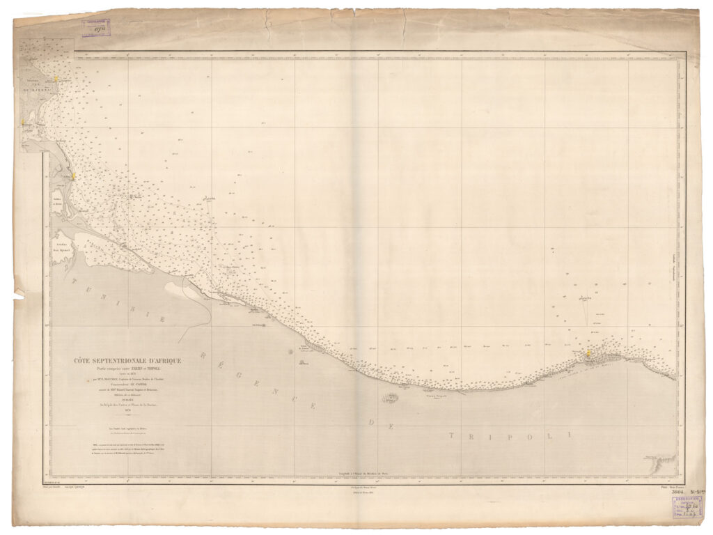
MEDITERRANEE. COTES DE SICILE ET DE LA REGENCE DE TUNIS DEPOT DES CARTES ET PLANS DE LA MARINE

1871

Consultation and Accessibility

The Attilio Mori Library is listed in the OPAC catalog of the National Central Library of Florence.

Direct link to the online library works catalogue: http://opac.bncf.firenze.sbn.it

Otherwise, browse the OPAC site of the National Central Library of Florence:

  • Connect to the OPAC of the National Central Library of Florence and choose Basic Search
  • Open the Applicable filters link
  • In the Library drop-down menu, choose “Attilio Mori Library of the Italian Military Geographic Institute.”
Type of services provided: consultation, reading, lending, copying.