It covers the whole national territory and is provided in matrix format to external users. The DTM was obtained by interpolating IGMI orographic data. The resulting product is a 20-m regular-grid matrix, whose elements (pixel) indicate elevation values. Plane coordinates are given in the UTM-ED50 system within the related time zone. Matrix data are available to be purchased in ASCII or BINARY format. The format for sale is the “tile,” which is the subdivision of the national territory, in the two time zones, into areas measuring 10Km x 10Km (purchasable online). In addition to the 20m resolution grid, DTMs are available with geographic coordinates at 1″ and 3″ arc-second resolution, covering a section area at scale 1:25,000 and a sheet area at scale 1:50,000 in the ED50 reference system, respectively (but the latter are not purchasable online).
Explore the Italian Military Geographic Institute’s aerial photo archives: more than 300,000 photograms of Italy and some foreign states, taken between 1927 and 2010.
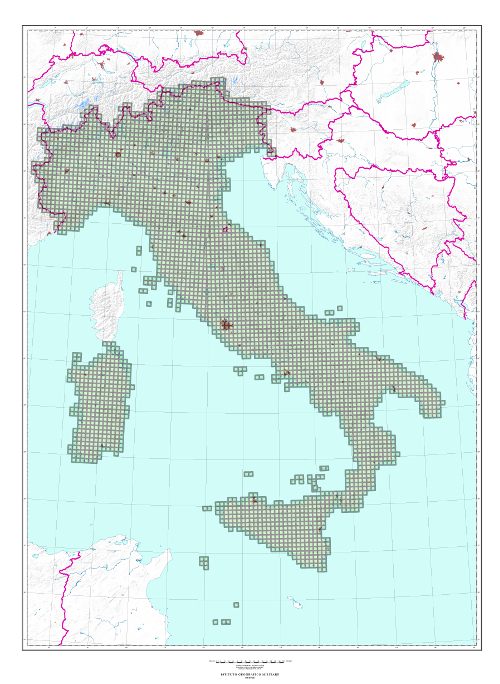
Cartography
Discover the official cartography of Italy produced by IGMI: accurate and updated maps, all realized with state-of-the-art technologies.
Historical maps
Discover a unique collection of historical maps, perfect for scholars, collectors and enthusiasts.
Terrestrial Photos
Thousands of historical, panoramic and terrestrial images of Italy and overseas territories, taken between 1876 and 1945
Geodetic Elements and Conversion Software
On line purchasing of high quality IGMI products.
Books and Magazines
Increase your knowledge of the territory by the Italian Military Geographic Institute’s publications.
 Contattaci


