50/V SERIES “Topographic Map of Italy” at scale 1:50,000 “LEVATE DI CAMPAGNA”
TYPE
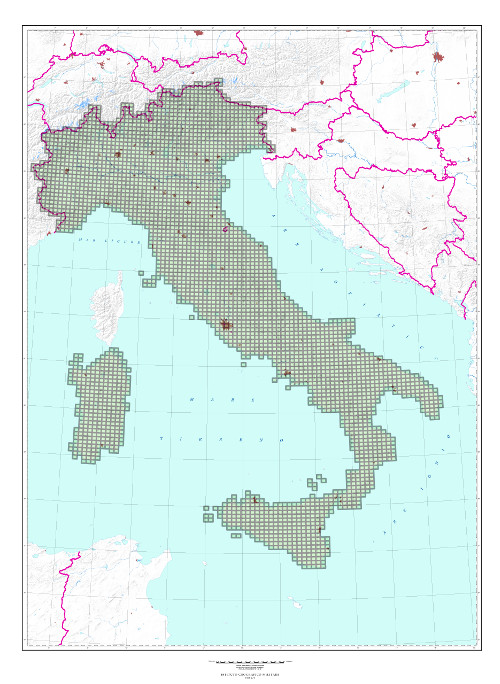
Topographic map consisting of Surveys operations (Levate di Campagna) at scale 1:50,000 for the realization of the Topographic Map of the Kingdom of Italy.
CHARACTERISTICS
The realization of the map of the entire Kingdom, at scale 1:100,000, to be carried out by systematic surveys, was decreed by Law of June 29, 1875. The trigonometric and topographic works already undertaken for the map of the southern provinces, were continued and extended to the entire National territory. The 1:50,000 surveys which had been used for the realization of the map of the southern provinces were transformed into the new cartographic system; however topographic works were no longer carried out entirely at the same scale, but at 1:50,000 scale for less important regions, and at 1:25,000 scale for regions richer in topographic details.
SCALE
1:50,000
SIZE
15° in Longitude by 10° in Latitude. Average surface area of 375 sq. km.
NUMBER OF ELEMENTS
655 elements, all of which are available.
TIME INTERVAL
1850 – 1901
CUT
Geographic (15° in Longitude by 10° in Latitude), based on Bessel ellipsoid oriented to Rome 40 Monte Mario.
PROJECTION
The cartographic projection is the natural or polycentric (Sanson-Flamsteed), longitudes are measured from Rome Monte Mario meridian. The origin point of coordinates is the center of the map.
Explore the Italian Military Geographic Institute’s aerial photo archives: more than 300,000 photograms of Italy and some foreign states, taken between 1927 and 2010.
Cartography
Discover the official cartography of Italy produced by IGMI: accurate and updated maps, all realized with state-of-the-art technologies.
Historical Maps
Discover a unique collection of historical maps, perfect for scholars, collectors and enthusiasts.
Terrestrial Photos
Thousands of historic, panoramic and terrestrial images of Italy and overseas territories, taken between 1876 and 1945
Geodetic Elements and Conversion Software
On line purchasing of high quality IGMI products.
Books and Magazines
Increase your knowledge of the territory by the Italian Military Geographic Institute’s publications.
 Contattaci

