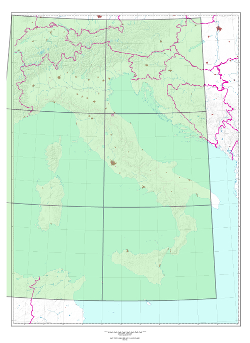
1,000 (1301) SERIES “IL MONDO” “THE WORLD” INTERNATIONAL MAP 1:1,000,000 “IL FOGLIO”
TYPE
Map realized by the British GSGS (currently DGC-UK), in colors
CHARACTERISTICS
Elevation is expressed in meters with attached scale of conversion (meters into feet); orography is shown with contour lines and hypsometric tints with contour intervals varying according to the tints; it shows State, Region and Province borders; smaller inhabitated places are indicated by small circles, while for the larger ones the perimeter of the city is indicated by an internal red net; inhabited places are classified according to their importance; roads are classified according to their importance; railway network is in black; airports are in red; glossary is available in the various languages related to the territory described on each sheet.
SCALE
1,000,000
SIZE
6° in Longitude by 4° in Latitude. Average surface area 220,000 sq. km.
NUMBER OF ELEMENTS
The Series consists of 6 elements, all of which are available
Explore the Italian Military Geographic Institute’s aerial photo archives: more than 300,000 photograms of Italy and some foreign states, taken between 1927 and 2010.
Cartography
Discover the official cartography of Italy produced by IGMI: accurate and updated maps, all realized with state-of-the-art technologies.
Historical Maps
Discover a unique collection of historical maps, perfect for scholars, collectors and enthusiasts.
Terrestrial Photos
Thousands of historic, panoramic and terrestrial images of Italy and overseas territories, taken between 1876 and 1945
Geodetic Elements and Conversion Software
On line purchasing of high quality IGMI products.
Books and Magazines
Increase your knowledge of the territory by the Italian Military Geographic Institute’s publications.
 Contattaci

