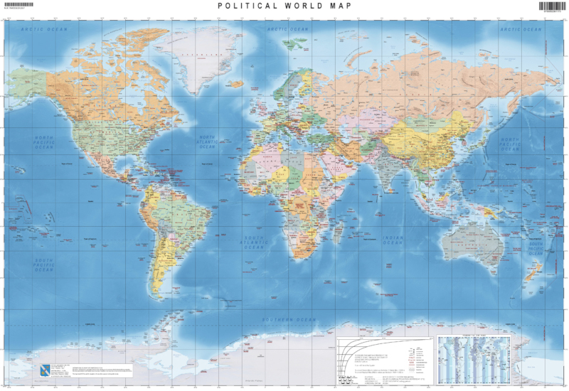
The “Carta del Mondo” – “Political World Map” was produced using public geographic data in English.
In the political version are depicted world nations, with graduated colors that, placed in transparency, show the underlying shaded reliefs. The map shows International borders and major disputed areas, capitals, main cities, and toponymy of major sea and land regions, all related to the average scale of the map.