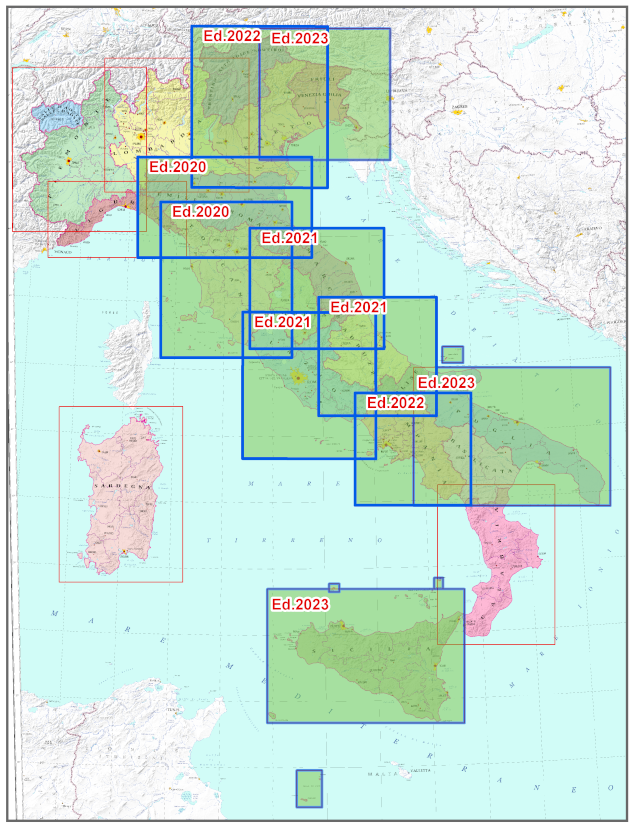
The map shows the main natural and anthropic aspects that are significant and relevant for the reference scale and useful for highlighting the general characteristics of the mapped territory at regional scale. The information reported can be grouped into themes: Elevation, Hydrography, Borders, Transports, Inhabited Places, Settlements, Protected Areas, Toponymy.
Elevation is represented by hypsometric tints, contour lines and elevation points with the addition of the shading that enhances the effect of the relief.