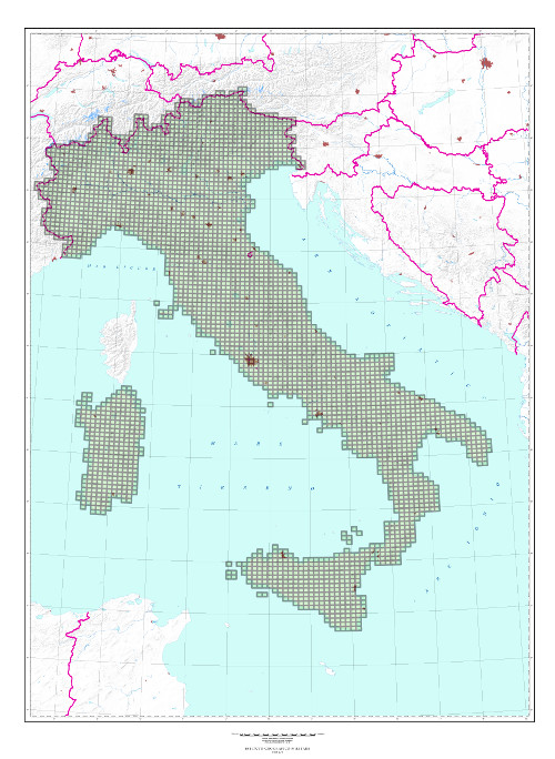
The information content consists of roads, human settlements, technological networks, vegetation, hydrography, orography. Orography is indicated by contour lines at 25 m. interval and elevation points. State, Region, Province and Municipality borders are delineated. Inhabited places are planimetrically detailed.Three versions are available: 1 color (black), 3 colors (black, bistre, light blue), 5 colors (black, bistre, light blue, green and red). Main road system is in red, woods in green.